New Delhi | Jagran News Desk: The Indian Space Research Organisation (ISRO) has developed a technology that will help the Indian Armed Forces sent on ‘beyond the enemy lines’ operations in the future, said a Times of India report.
According to the report, ISRO has developed the technology as a part of its Indian Regional Navigation Satellite System (IRNSS) and has transferred it to the Defence PSU Bharat Electronics Limited (BEL). This technology will be a part of the ‘Restricted Service’ (IRNSS-RS) and has been developed for the strategic users of the country, the report said.
“The IRNSS-RS provides location navigation service with anti-spoofing technology for authorised users. Personnel Tracker gives position information in TDMA mode of operation,” ISRO official, quoted by Times of India, said.
The reported added that the technology will ensure that there will be no interference from transmissions it will prevent traffic from false sources.
The BEL, in a written reply to Times of India, confirmed that it has signed an agreement with the ISRO for developing the technology and it will be used to track the position of fishing vessels and other emergencies.
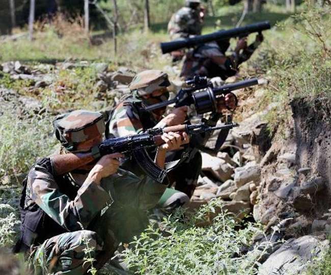
Sources, quoted by Times of India, said that the technology has been developed completely in India and it will help the personnel of the Indian Armed Forces to track their troops even in enemy territory.
The sources further told Times of India, that BEL is also working with the ISRO to develop a portable IRNSS Receiver solely for navigation applications. “As an offshoot of this programme, BEL has developed variants based on IRNSS-RS receiver functionality such as PTS (Precision Time Servers) in both rack mount and wall mount form factors and receivers with Map-based navigation application,” sources, quoted by Times of India, said.
Before IRNSS, India used GPS for tracking troops, locations, navigation services and scanning satellite maps.